Transform your camera into a geotechnical and structural monitoring system
PhotoMonitoring is the advanced platform developed by NHAZCA for the analysis and control of land, structures and infrastructures.
PhotoMonitoring platform has been created in response to the growing need of real-time and low-cost monitoring solutions, and is capable to use any source of images available, acquired by cameras installed on terrestrial, aerial and satellite platforms.
This fast-growing dataset of images acquired over portion of land and infrastructures in recent years is, in many cases, already freely available and easily accessible, thanks to the widespread use of consumer photographic equipment, and holds a huge potential as base for our analysis and monitoring of surficial changes and displacements.
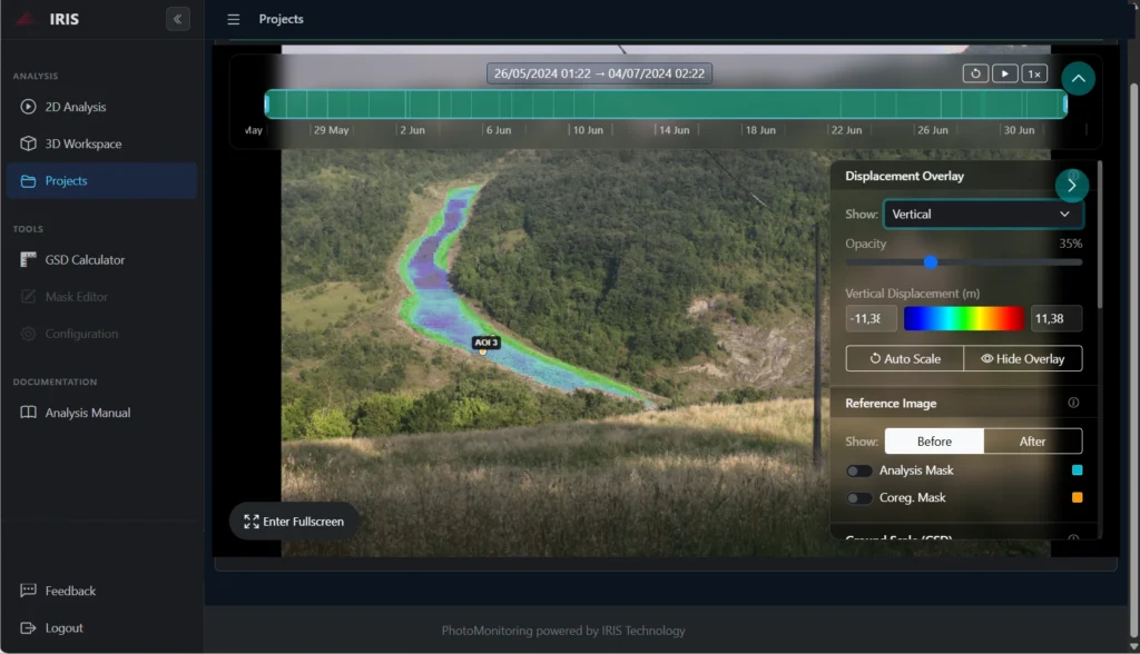
PhotoMonitoring is based on a set of advanced image-processing algorithms that we combined in IRIS, the platform completely developed by NHAZCA. IRIS runs on NHAZCA’s servers and is conceived to analyze data acquired from any type of platform and sensor, and offers the following features:
Data acquisition from any image source: IP cameras and webcams (RTSP, HLS, MJPEG, HTTP snapshots), time-lapse DSLRs, drone and satellite imagery, SFTP/HTTPS archives
Displacement analysis, up to millimeter accuracy with Digital Image Correlation algorithms
Change Detection analysis, with before/after evidence for every detected change
Multi-temporal analysis with displacement time-series
3D point cloud comparison (M3C2) with volumetric change maps, directly in the browser
Detect minutes changes that standard monitoring systems may miss
Aerial
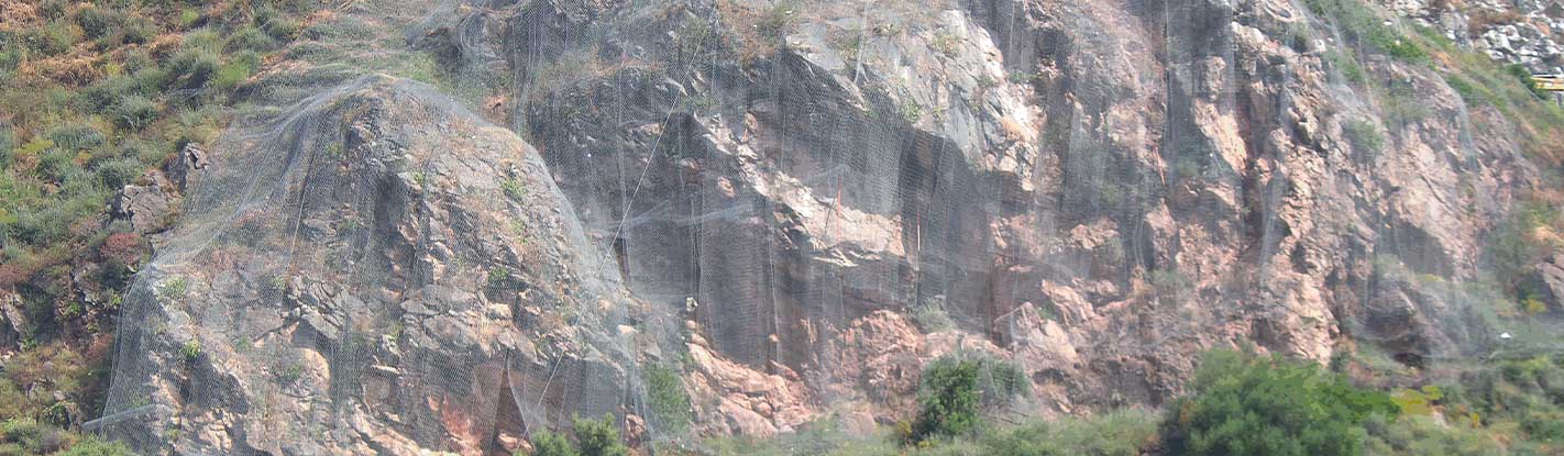
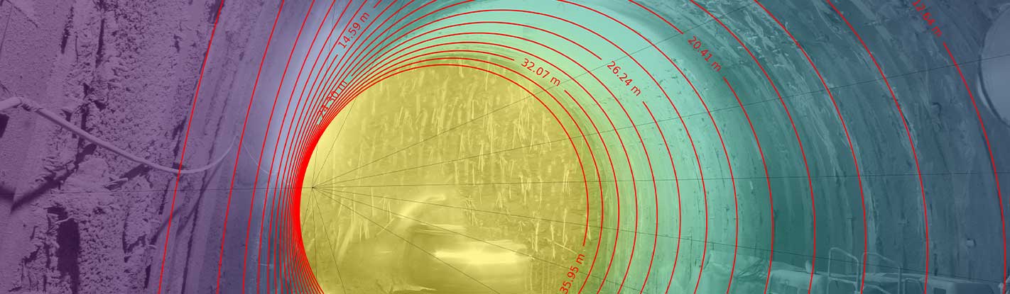
Terrestrial
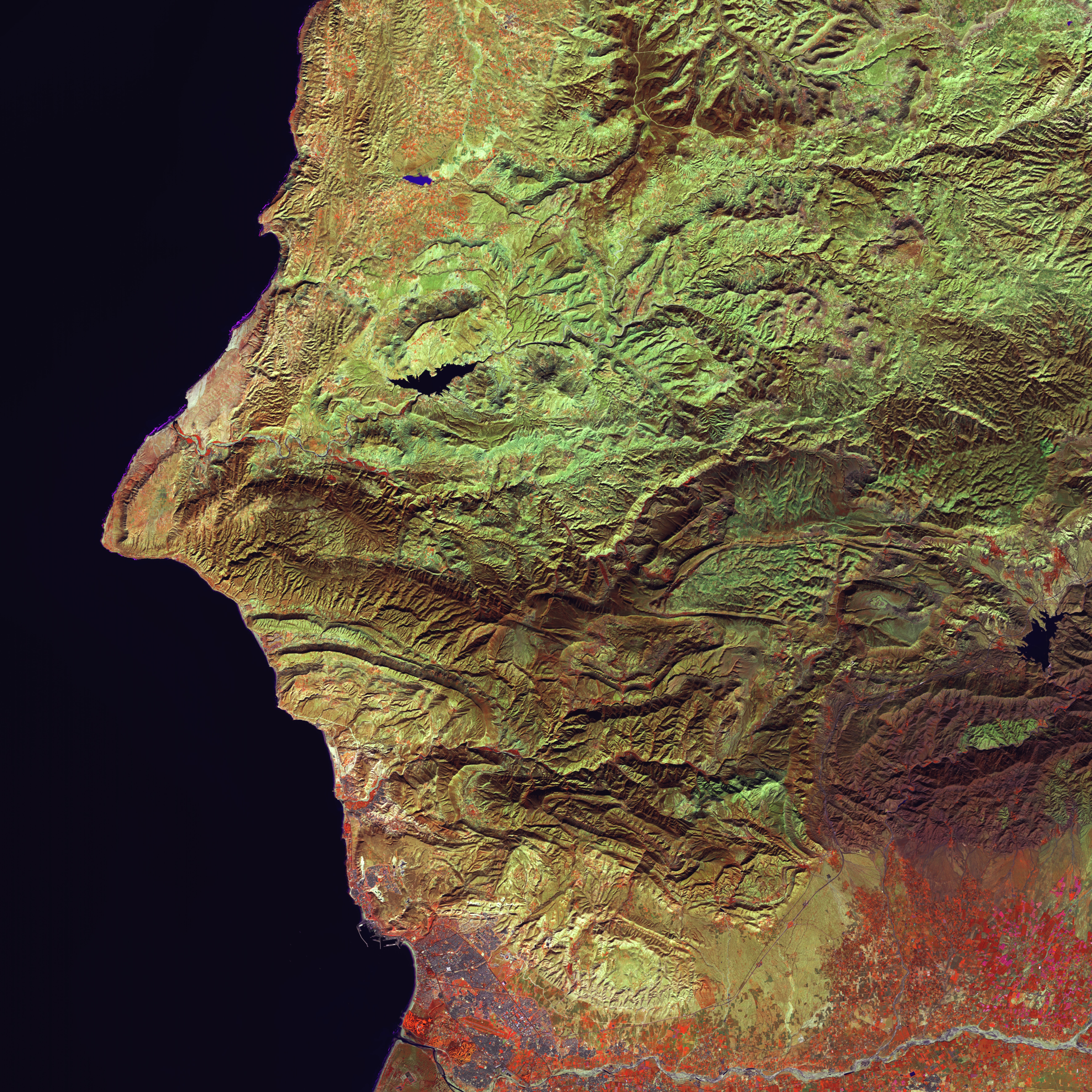
Satellite
CUSTOMIZED HARDWARE
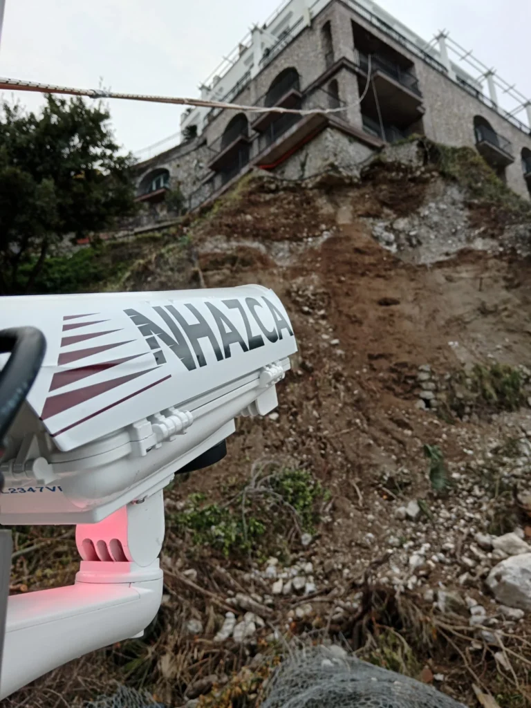
PhotoMonitoring solution can be coupled with a wide set of tools, from ad-hoc sensors (e.g. thermal cameras) to commercial-grade cameras (e.g. DSLR, IPcam) able to address different types of needs. All these devices are specifically designed in order to continuously acquire reliable and comparable data and, thanks to rugged and weatherproof housing, in any type of environment such as constructions sites, remote areas, industrial zones, etc.
International leader in geotechnical and structural monitoring
NHAZCA (Natural HAZards Control and Assessment), spin-off of Sapienza University of Rome, is an international leader in the analysis and monitoring of natural hazards and large infrastructures for the management and mitigation of risks.
NHAZCA is strongly characterized by a highly integrated and motivated team which contributes to its success and growth over time. Our team consists of enthusiasts geologists, engineers, project managers, and technicians coming both from private and academic world, also benefiting from a world-class network. Since our foundation, our team has been growing extensively and our ambition is to continue to develop new solutions and services while expanding our geographic footprint. Each employee is a specialist in his or her field.