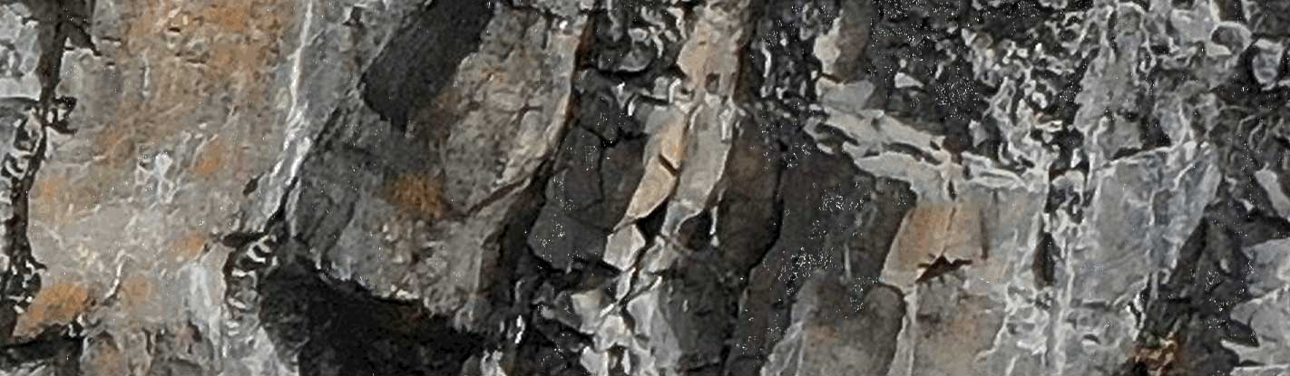
Rockfalls are one of the most frequent and hazardous natural processes, threatening transport corridors, construction sites, and communities. Their rapid occurrence requires early detection and quantitative assessment.
Photomonitoring™ offers an advanced solution through automated change detection. By comparing high-resolution images over time, the Rockfall Counter & Mapper module identifies, validates, and characterizes rockfall events, creating an accurate inventory of source and deposition areas.
flexibility
Multiple sensors and platforms
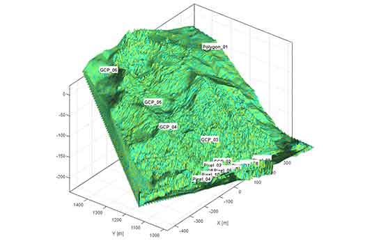
Photomonitoring™ is featured by a high flexibility thanks to the possibility to use data coming from different sensors and platforms as input data allowing sub-pixel accuracy in displacements monitoring.
Smartphones
fixed cameras
drones
airplanes
satellites
Applications
Monitoring of natural rock slopes near infrastructures.
Quantitative assessment of rockfall frequency, size, and runout.
Supporting hazard zoning and mitigation design with event data.
Advantages
Automated
Automated detection and validation of rockfalls.
Counting
Counting and characterization of individual events.
Mapping
Mapping of source zones and deposition areas.
Monitoring
Continuous, non-invasive monitoring of hazardous slopes.
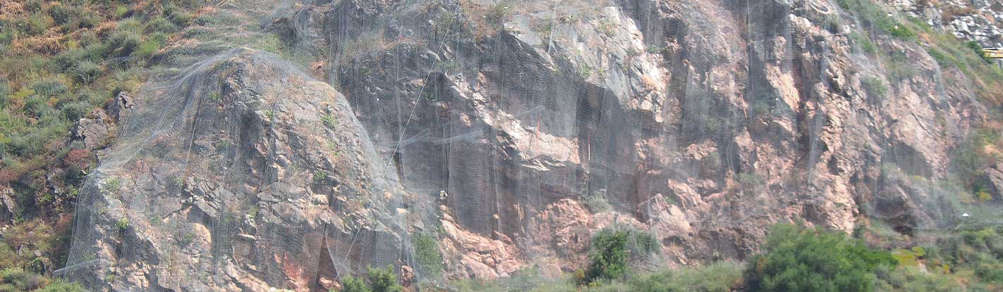
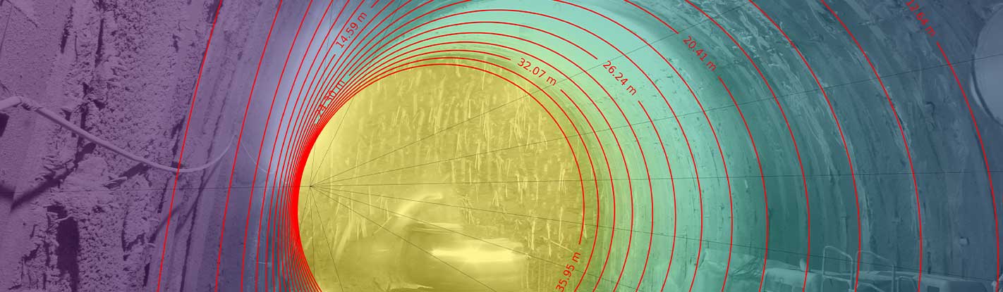
A SUCCESSFUL EXAMPLE
In Taormina, NHAZCA employed Photomonitoring™ Rockfall Counter & to monitor unstable slopes threatening key infrastructures. The system enabled automated detection, counting, and mapping of rockfall events, with real-time data transfer and alerts. This provided the customer with rapid, reliable information for safety management and mitigation design.