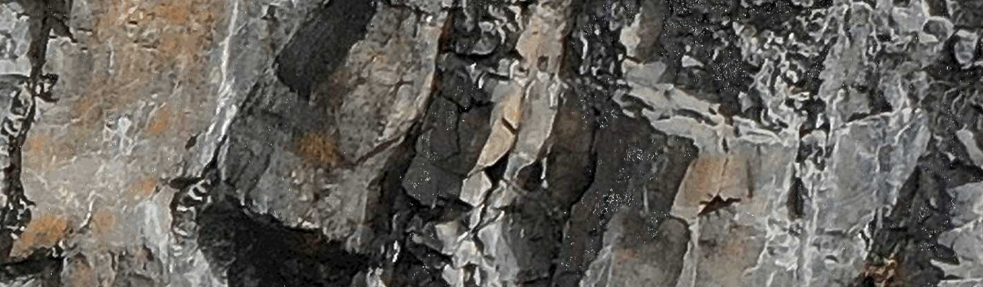
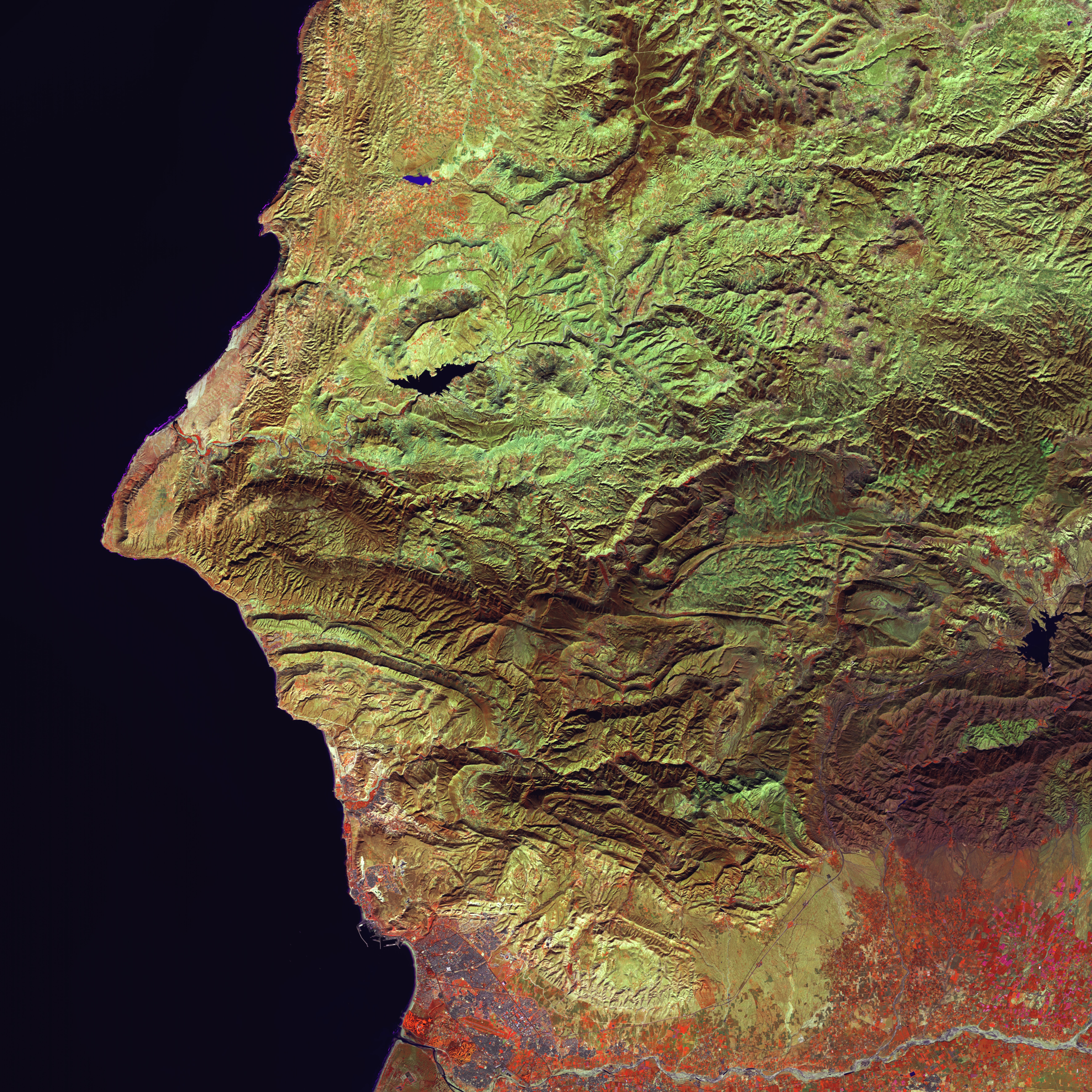
Landslides are among the most dangerous natural hazards, threatening infrastructures, construction activities, and communities. Monitoring slope stability and detecting movements at an early stage are crucial for risk mitigation and safety.
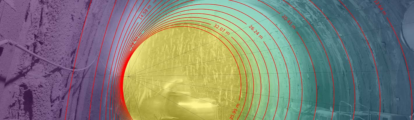
Photomonitoring™ enables continuous, non-contact monitoring of slopes and landslides. Using high-resolution cameras and the proprietary IRIS software, the system detects millimetric displacements across the entire monitored surface, providing near real-time data on slope behavior.
flexibility
Multiple sensors and platforms
Photomonitoring™ is featured by a high flexibility thanks to the possibility to use data coming from different sensors and platforms as input data allowing sub-pixel accuracy in displacements monitoring.
Smartphones
fixed cameras
drones
airplanes
satellites
Applications
Monitoring active or dormant landslides for risk management.
Supporting early warning systems with continuous deformation tracking.
Documenting slope behavior during construction activities in sensitive areas.
Advantages
Cost saving
Cost reductions thanks to the possibility of monitoring by low-cost sensors data as input for the analysis.
Multiple devices
Input data from different sensors and platforms allowing sub-pixel accuracy in displacements monitoring.
Real-time monitoring
Fundamental for critical sites and infrastructure management.
Real-time acquisition
Ideal for analyzing landslide dynamics with flexible monitoring frequencies.
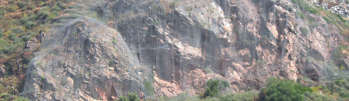
A SUCCESSFUL EXAMPLE
Photomonitoring™ results on the Ruinon complex landslide (Italy) recorded by a standard HD webcam.