UAV Photomonitoring – WSDOT SR 14 Post-Wildfire
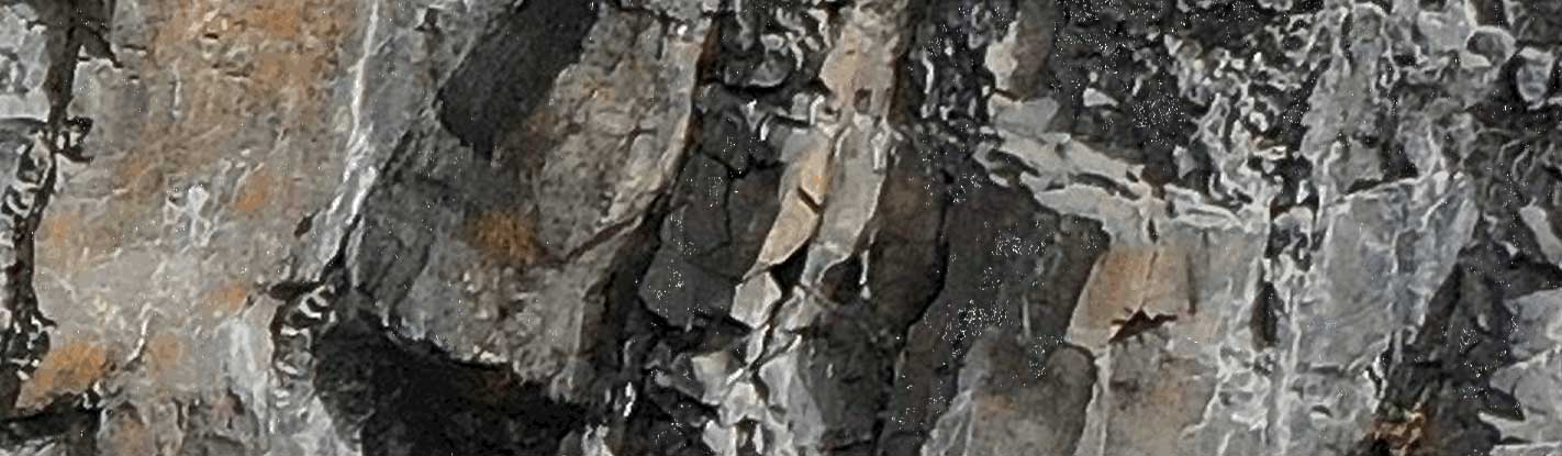
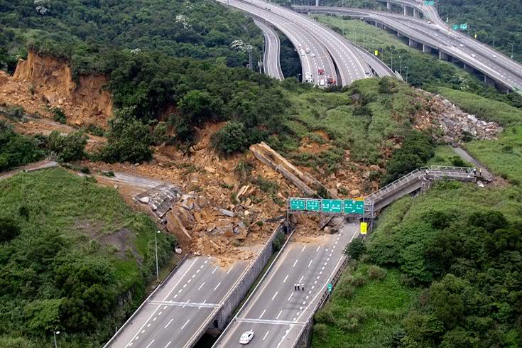
Issue A wildfire of approximately 10,000 acres burned the slopes above SR 14 at milepost 69, leaving them unstable and prone to rockfalls. The highway

Issue A wildfire of approximately 10,000 acres burned the slopes above SR 14 at milepost 69, leaving them unstable and prone to rockfalls. The highway
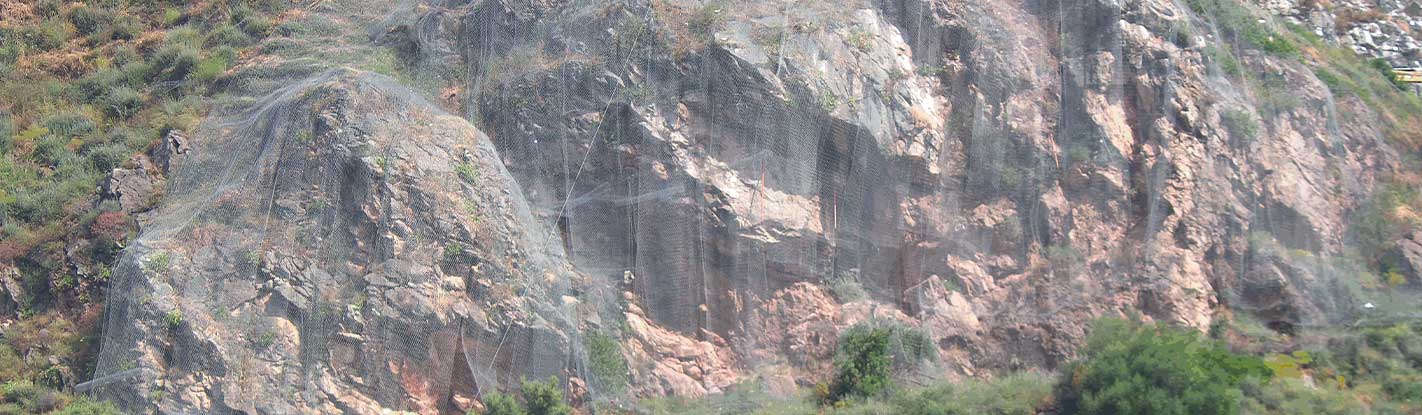
Issue An unstable rock slope above Taormina required urgent stabilization works, including the controlled demolition of hazardous boulders with a total volume of 3000 m3
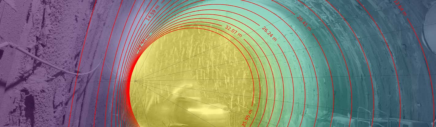
Issue Excavation through varicolored clays required close convergence monitoring. Conventional topography was used as the reference method but provided only sparse, point-based and discontinuous data
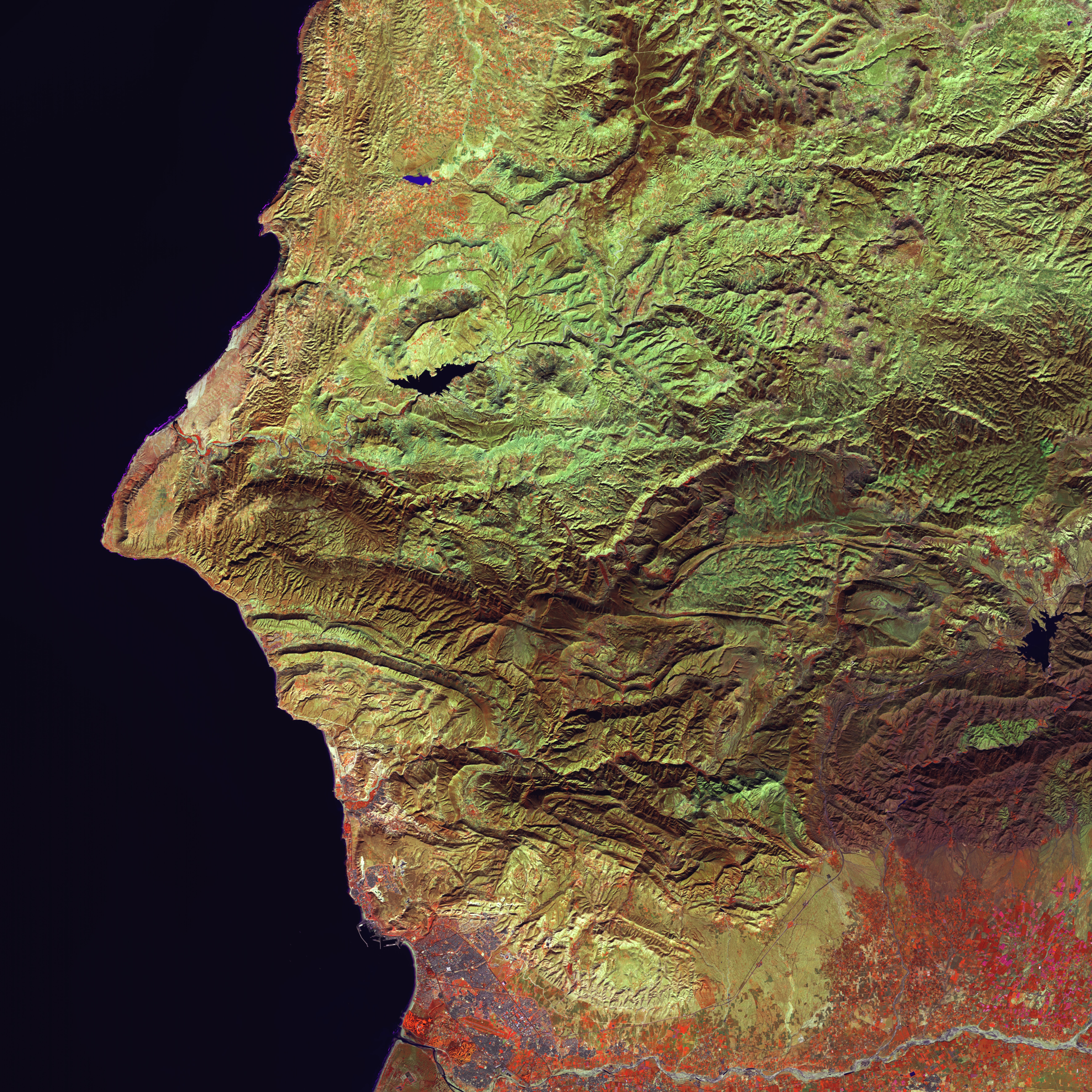
Issue Understanding, through quantitative information, the evolution of coastal erosion processes affecting about 10km of coastline in the last decade. Solution The study was carried
In the framework of the Call “KETS enabling technologies” – POR FESR LAZIO 2014-2020 promoted by the Lazio Region, NHAZCA has been funded for the

Issue A landslide interrupted an important provincial road connecting villages and places of great tourist interest. For the reopening of this stretch, continuous monitoring is