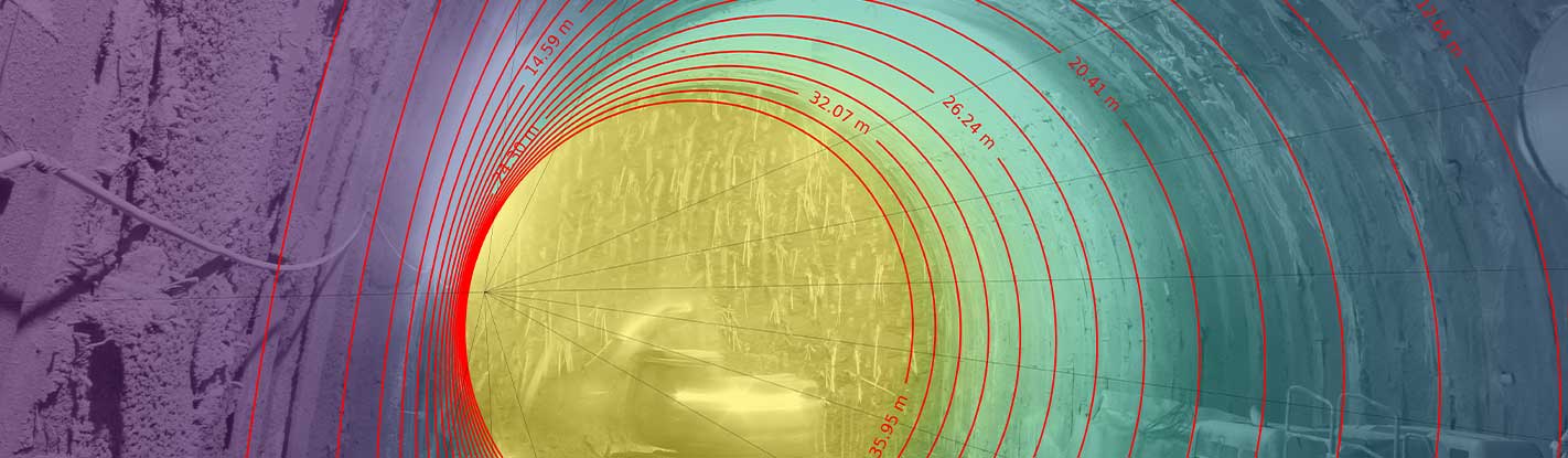
IRIS aerial solutions allow analyzing high-detailed panoramic view of the area/process of interest and monitoring the evolution of natural processes and man-induced changes by taking advantage of different datasets collected through time from UAV and mid-air systems (e.g. orthophotos, digital terrain models).
Main applications
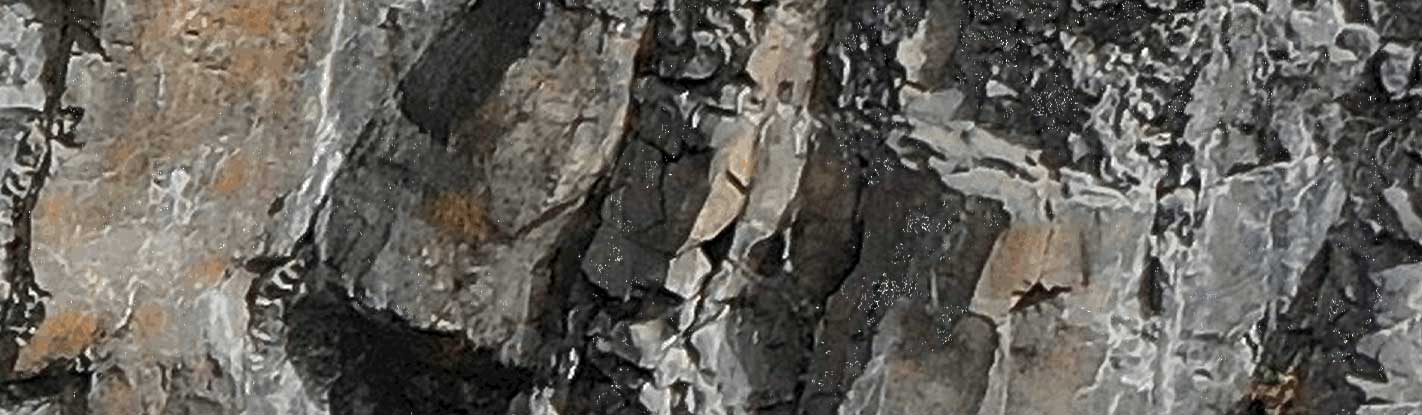
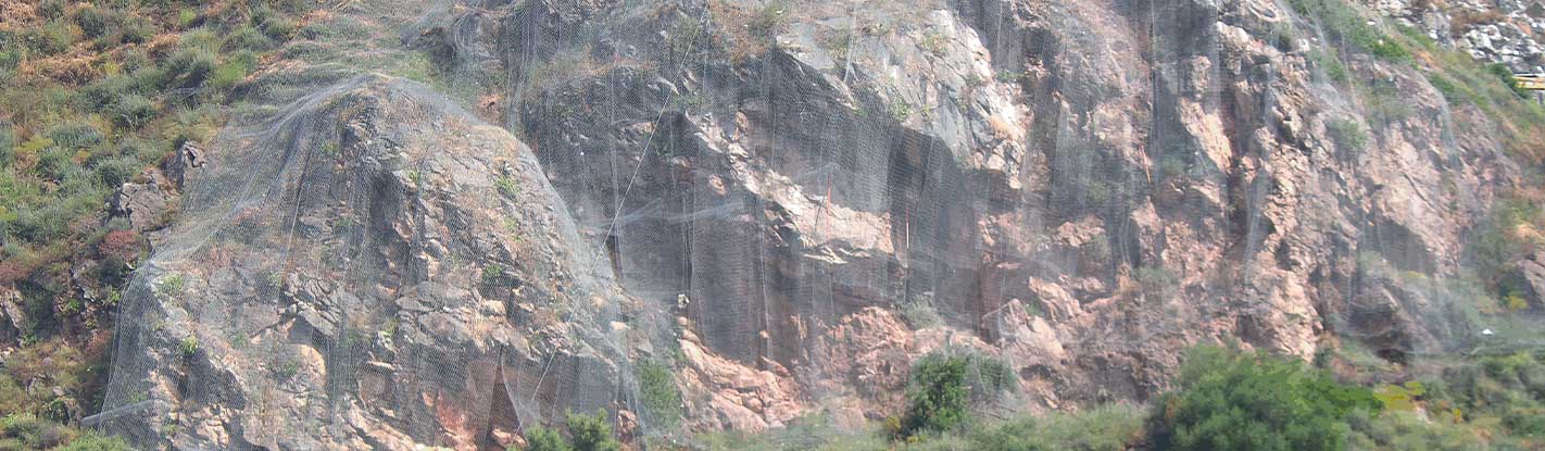
Landslide and sinkhole displacement monitoring; rock scarp evolution monitoring; glaciers displacement analysis; slope stability monitoring in open mines; construction sites activities monitoring.
Photomonitoring™
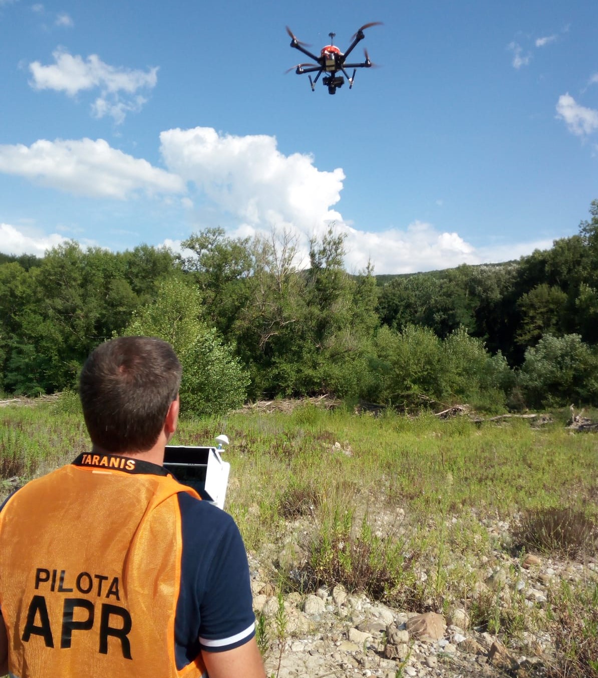
UAV SURVEYS
NHAZCA offers expert and qualified drone operators and its own fleet of Unmanned Aerial Vehicles (UAVs) for field surveys. Using UAVs means that we can obtain data from locations where access or visibility is limited providing high-resolution imagery to be processed by our software.
The flexibility and ease of deployment of a UAV allow collecting data in a rapid, affordable and on short notice way. UAV surveys are suitable for a variety of purposes including site inspections, structures surveying, multi-temporal acquisitions, etc.