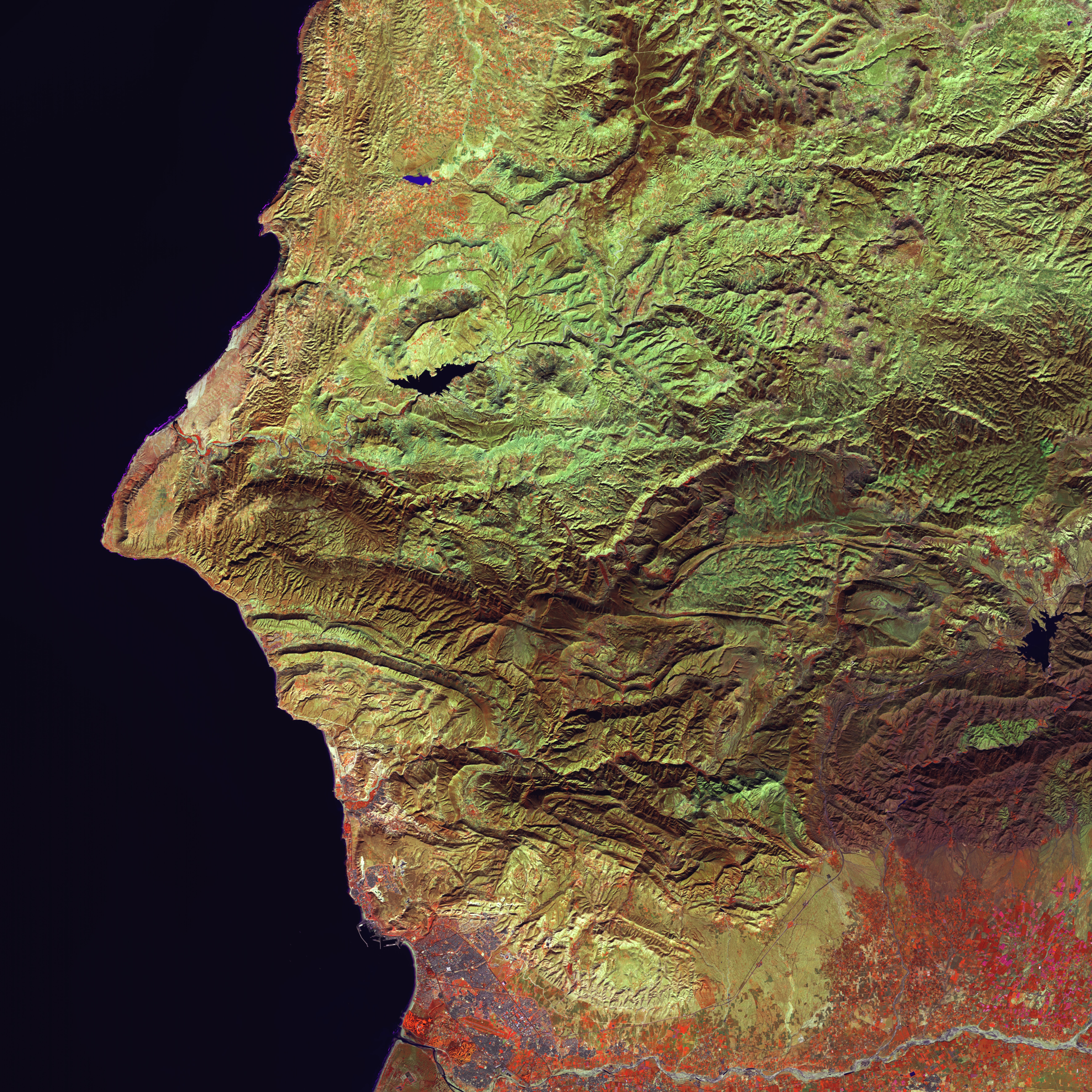
Taking advantage of the big amount of satellite imagery such as panchromatic (e.g. Landsat, DigitalGlobe and SPOT 6/7), multispectral (e.g. Landsat, SPOT, RapidEye, Worldview-2/3) and hyperspectral (e.g. PRISMA – ASI) images, now available all over the world also thanks to the launch of nanosats and cubesats, IRIS allows to perform historical ground changes and displacement analysis and long-term monitoring plan.
Main applications
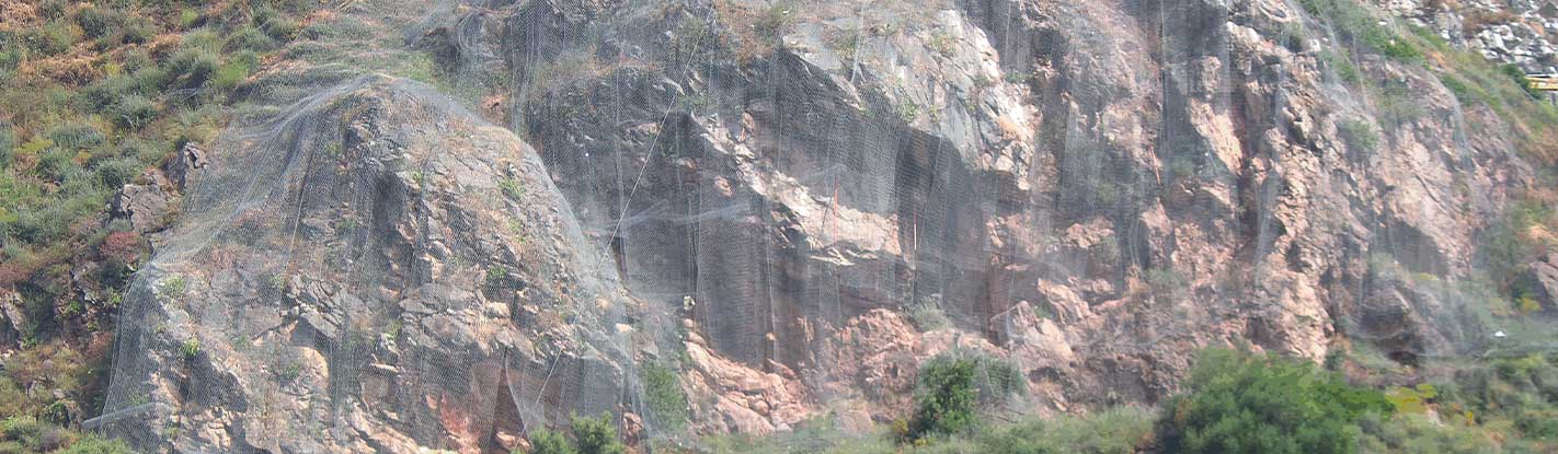
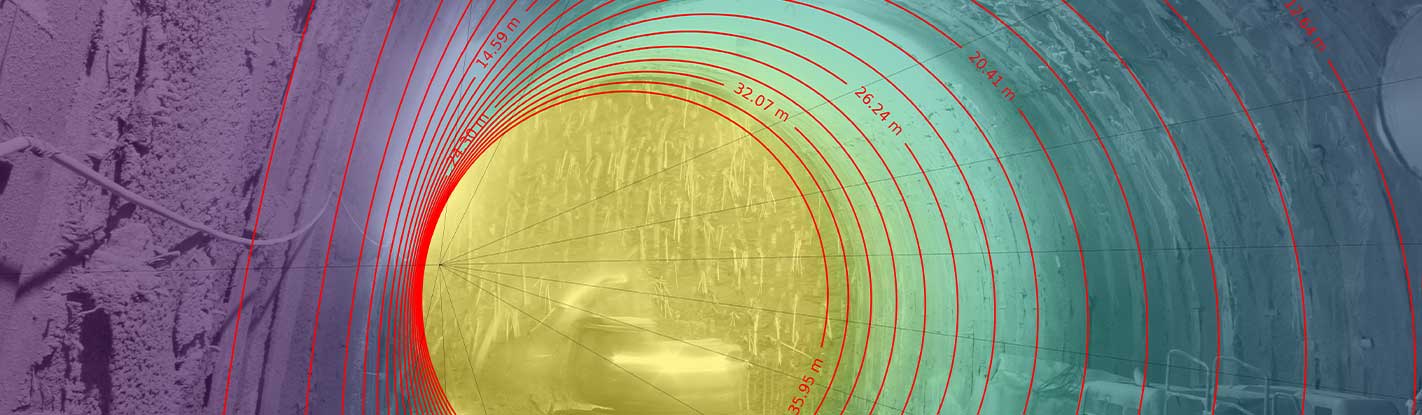
Ground change and displacement historical analysis and monitoring; identification and mapping of landslide events; large landslides displacement analysis; glaciers displacement analysis; monitoring of construction sites; mining activities monitoring; coastal and reservoir monitoring; floods mapping; fire mapping; disaster mapping.