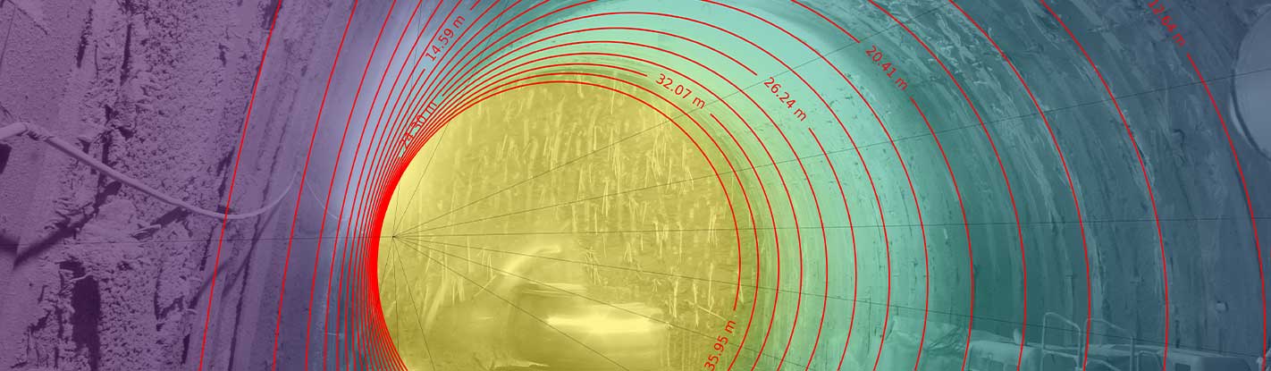
In its ground-based configuration, IRIS allows continuous and real-time data analysis, thanks to automated and stand-alone processing capability, to control and monitor ground motions and surficial changes down to millimeter accuracy.
Main applications
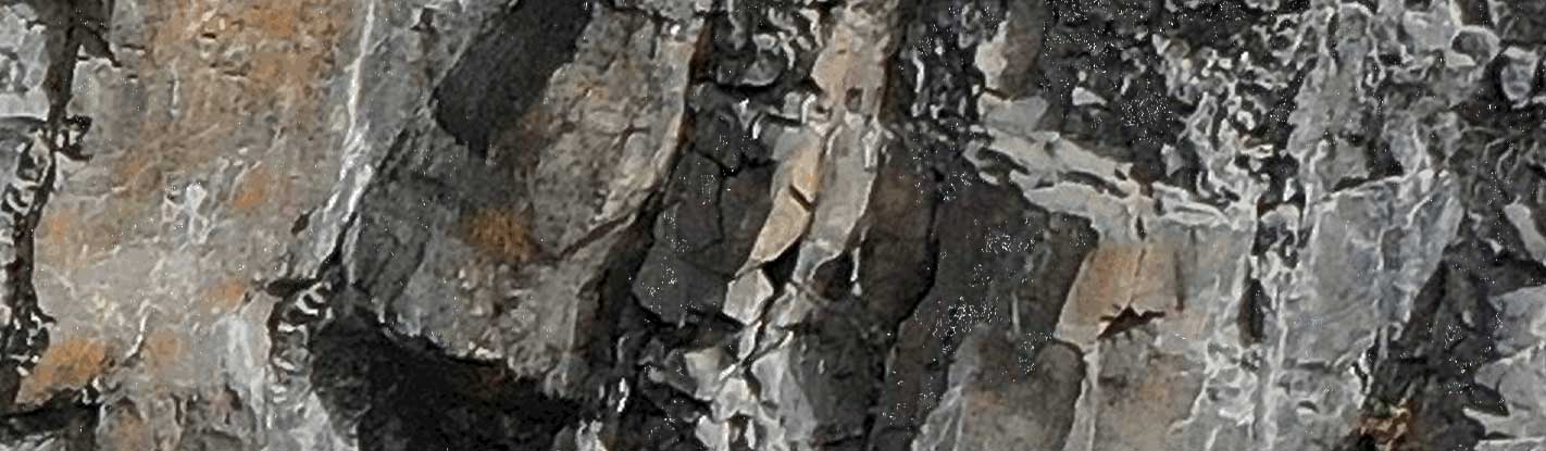
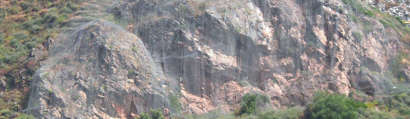
Landslide and sinkhole displacement monitoring; rock scarp evolution monitoring; slope stability monitoring in open mines; glaciers displacement analysis; snow avalanche monitoring; health and safety structural monitoring (bridges, geotechnical assets, concrete and earth dams, tailing dams, buildings, etc.).
Photomonitoring™
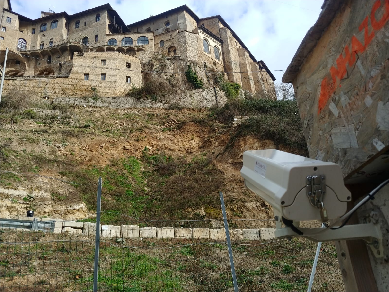
CUSTOMIZED HARDWARE
PhotoMonitoring solution can be coupled with a wide set of tools, from ad-hoc sensors (e.g. thermal cameras) to commercial-grade cameras (e.g. DSLR, IPcam) able to address different types of needs. All these devices are specifically designed in order to continuously acquire reliable and comparable data and, thanks to rugged and weatherproof housing, in any type of environment such as constructions sites, remote areas, industrial zones, etc.